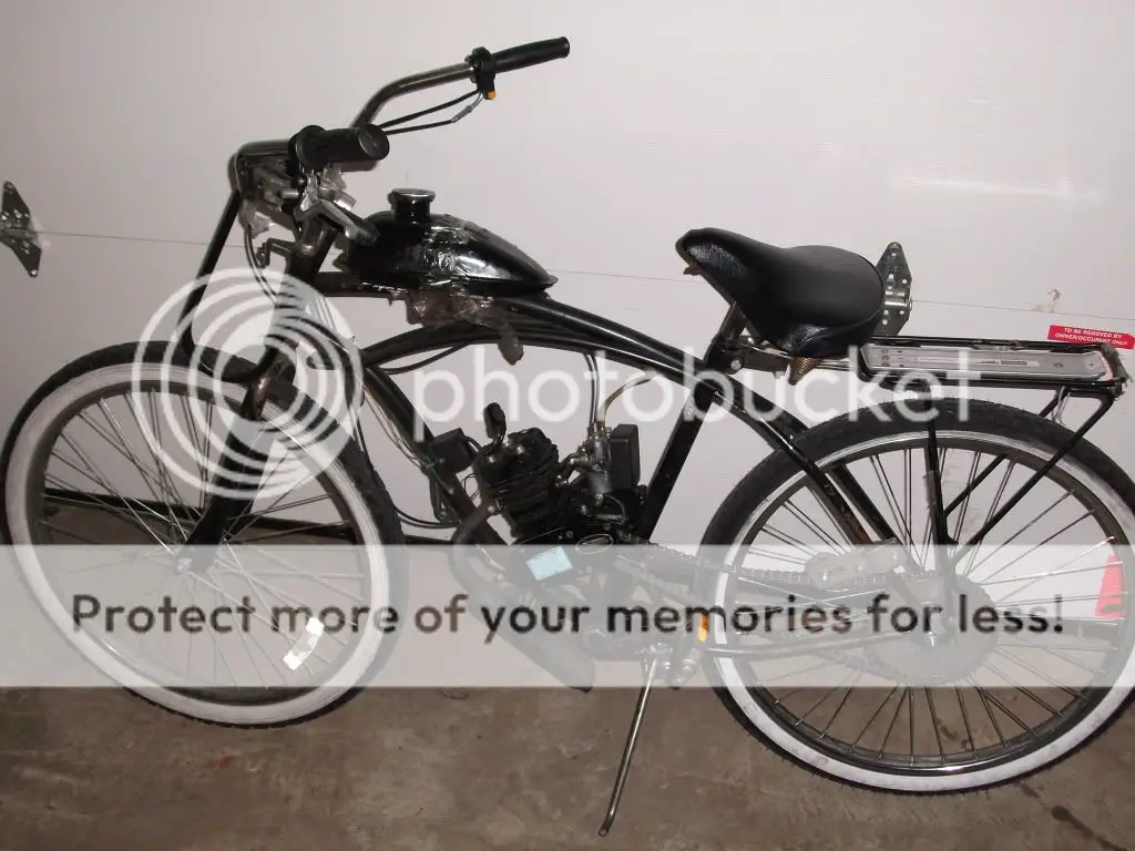


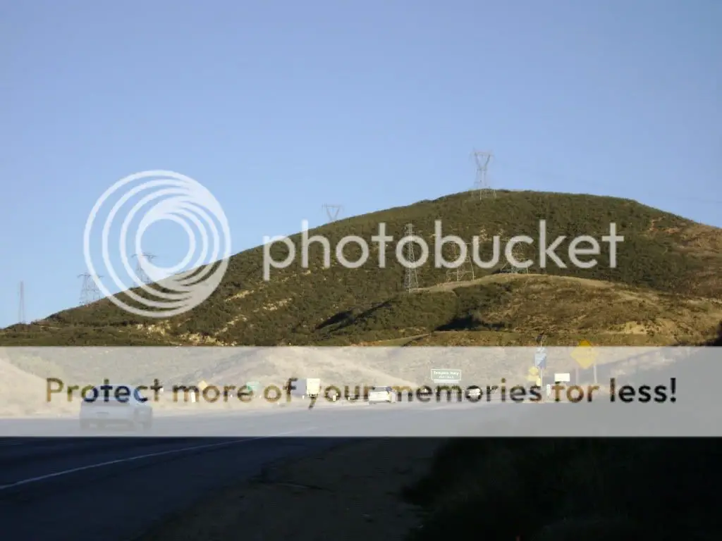
The trip began in Long Beach on New Years day on my cruiser bike with a stock 80cc Skyhawk. Getting through LA was a pain because I got lost a few times. Once I hit San Fernando Road at around 2 in the evening I knew that I wouldn't make be able to make the 20 mile journey on Hwy 5 to North Valley Peace Rd. before sunset so I stayed the night in Castaic.
The next day I left at dawn, and made it to Gordon by 11 am fighting the huge head winds on Hwy 5.
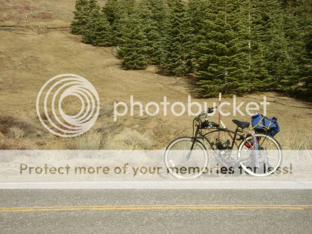
Got something to eat and met another MB member who gave me a ride up a big hill on North Valley Peace Rd. in his truck. Strange enough he had his own MB in the truck, so I invited him to ride part of the way on Frazier Park Rd. but his carb was leaking.
I was wondering why so many cars were passing me on Frazier Park Rd which I thought was going to be deserted on New Years day. I later figured out that Curry Valley Road leads to a ski resort.
Picasa Web Albums - Traveller - Long Beach to...
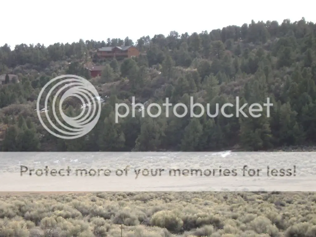
The other road leading from the Y was MiPortero Hwy which curved around mountains, and it felt like I was going to the bottom of a snow filled canyon. Fortunately the road was not icy due to the lack of rain that we have had. Overall it took me from 5700 feet to an elevation of 1200 feet at CA 33. Then it was relatively flat on CA 33 with beautiful scenery.
Looking back I should have taken two different sized sprocket wheels, one to go through LA (36T) and one for the mountains (50T) which would have increased my average speed.
I credit bamaguy for providing inspiration through his http://motorbicycling.com/f16/12-000-miles-since-2005-a-1808.html posts about his travels.
The next day I left at dawn, and made it to Gordon by 11 am fighting the huge head winds on Hwy 5.
Got something to eat and met another MB member who gave me a ride up a big hill on North Valley Peace Rd. in his truck. Strange enough he had his own MB in the truck, so I invited him to ride part of the way on Frazier Park Rd. but his carb was leaking.
I was wondering why so many cars were passing me on Frazier Park Rd which I thought was going to be deserted on New Years day. I later figured out that Curry Valley Road leads to a ski resort.
Picasa Web Albums - Traveller - Long Beach to...
The other road leading from the Y was MiPortero Hwy which curved around mountains, and it felt like I was going to the bottom of a snow filled canyon. Fortunately the road was not icy due to the lack of rain that we have had. Overall it took me from 5700 feet to an elevation of 1200 feet at CA 33. Then it was relatively flat on CA 33 with beautiful scenery.
Looking back I should have taken two different sized sprocket wheels, one to go through LA (36T) and one for the mountains (50T) which would have increased my average speed.
I credit bamaguy for providing inspiration through his http://motorbicycling.com/f16/12-000-miles-since-2005-a-1808.html posts about his travels.
") I have been wanting to do another long trip but it is so hard to find the time.
I have been wanting to do another long trip but it is so hard to find the time.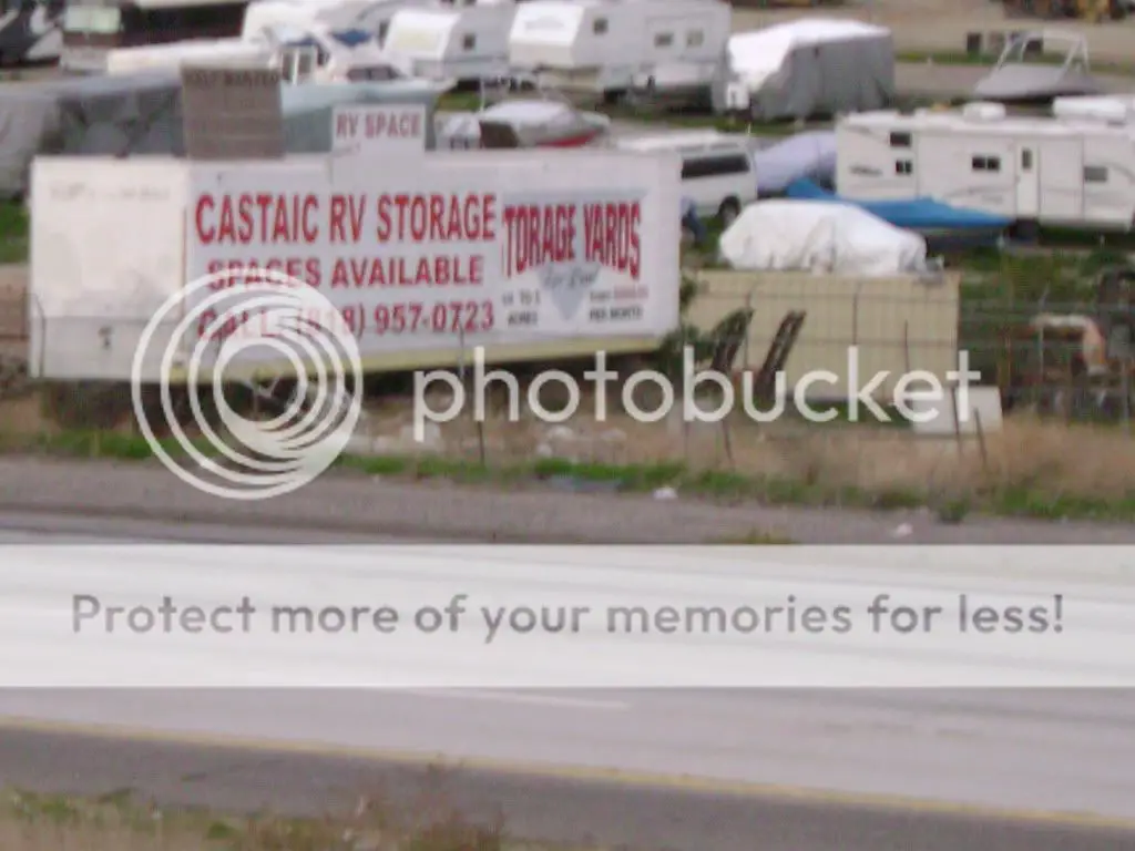
 . Fortunately I wasn't too far from my cousins house, so he came and gave me a ride back home.